
Live Data 13.7°C SSW 20.4kmh
Avr. Water temp. 19.3°C

Find the most sheltered beach around Perth. Right now.

Live shelter ratings for every beach in this region, updated every 15min. View the beach ratings below to see how sheltered it is right now.

0
5
10

City Beach

Map 5.2
City Beach

North Beach

Map 4.9
North Beach

Floreat Beach

Map 4.9
Floreat Beach

Cottesloe Beach

Map 4.8
Cottesloe Beach

Swanbourne Beach

Map 4.7
Swanbourne Beach

Scarborough Beach

Map 4.5
Scarborough Beach

Leighton Beach

Map 4.5
Leighton Beach

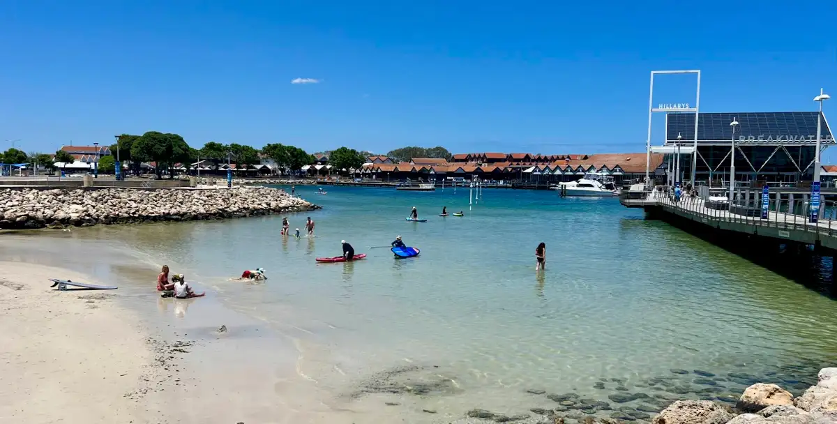
Hillarys Boat Harbour (inner)

Map 4.4
Hillarys Boat Harbour (inner)

Hamersley Pool

Map 3.9
Hamersley Pool

Watermans Bay

Map 3.7
Watermans Bay

Mettams Pool

Map 3.6
Mettams Pool

Mullaloo Beach

Map 3.4
Mullaloo Beach

Burns Beach

Map 3.3
Burns Beach

Hillarys Dog Beach

Map 3.3
Hillarys Dog Beach

Trigg Beach

Map 3
Trigg Beach

Two Rocks South Beach

Map 2.9
Two Rocks South Beach

Sorrento Beach

Map 2.5
Sorrento Beach

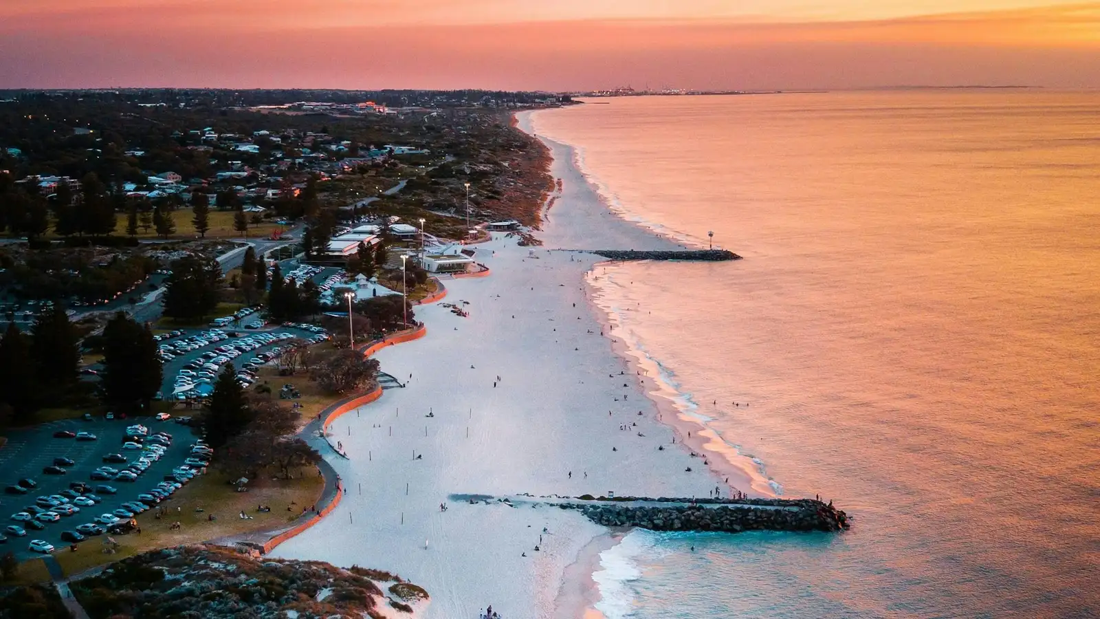
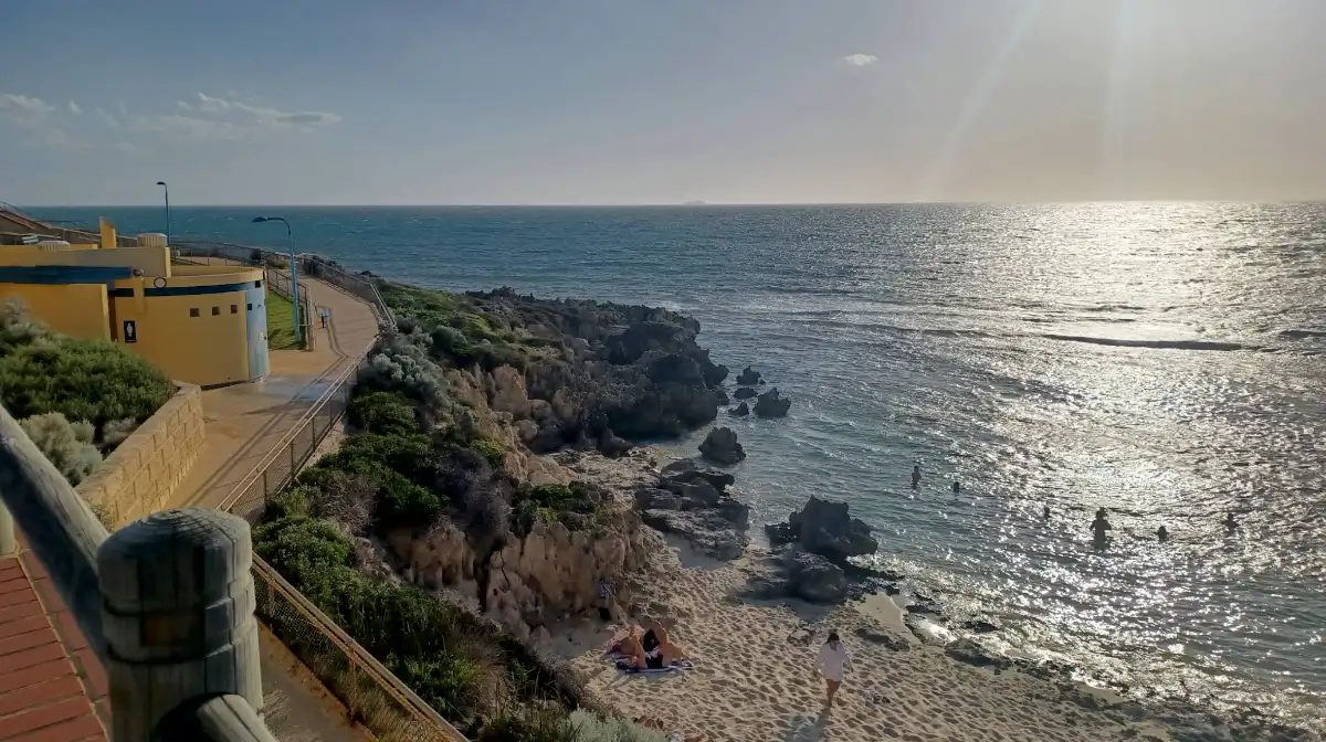
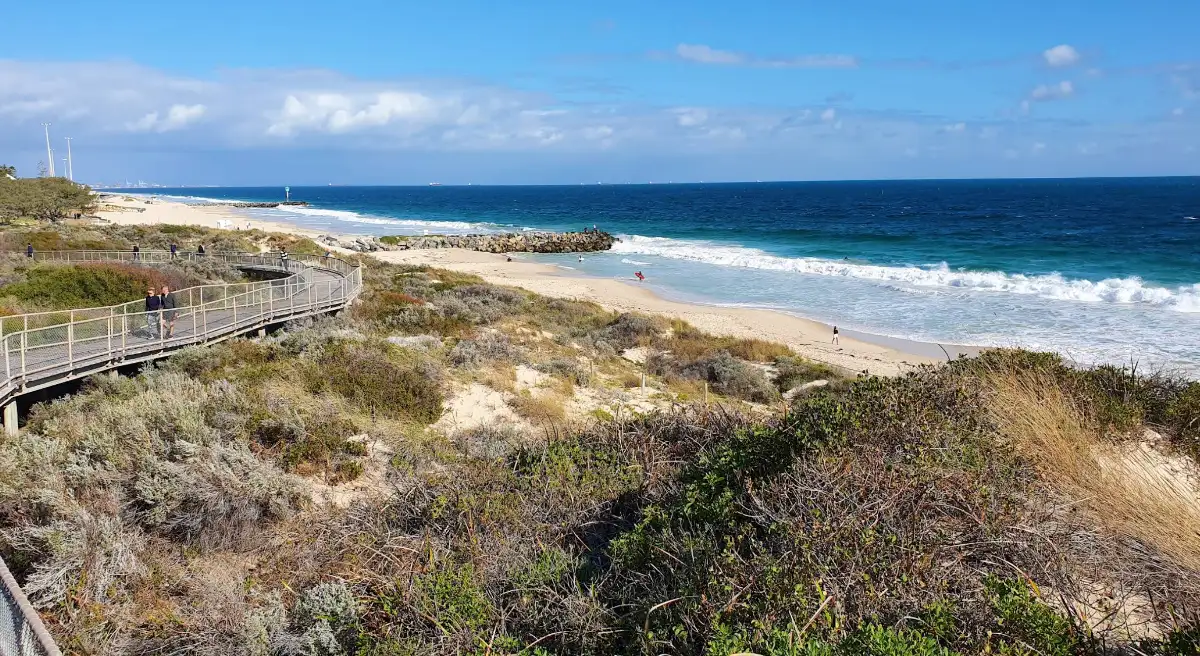
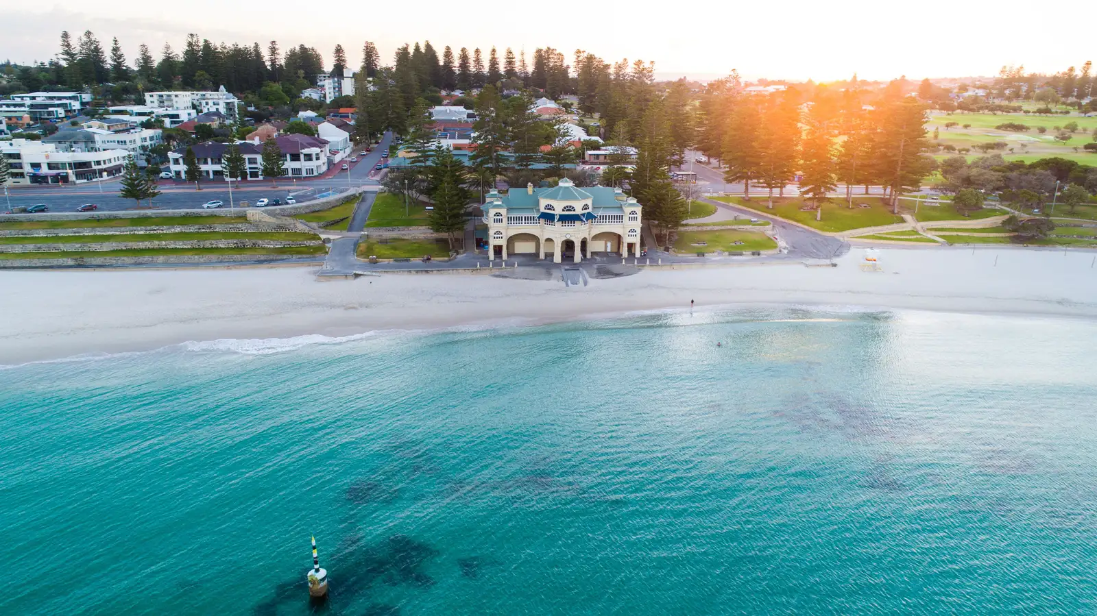
Perth's metro coastline stretches nearly 30 km of Indian Ocean beaches from Mullaloo to Fremantle, ranging from the sheltered calm of Cockburn Sound to the exposed surf of Scarborough and Trigg. Whether you're searching for the most sheltered beaches updated every 15 minutes or chasing the famous Fremantle Doctor sea breeze, our real-time wind and wave ratings help you choose the right Perth beach for swimming, surfing, kitesurfing or a family afternoon.

FAQs

Contact us

We’d love your feedback ...and some photos.

Help us document the best beaches in Australia. If you have a better photo than the one used or have a beach that you’d like listed on the site, send us an image with location details or a Google map link to .

All accepted photos get an onsite reference with a link to your folio or business.

Email us