Live Data 9°C SSE 9kmh
Avr. Water temp. 18.5°C

Find the most sheltered beach around Margaret River. Right now.

Live shelter ratings for every beach in this region, updated every 15min. View the beach ratings below to see how sheltered it is right now.

0
5
10

Prevelly Beach

Map 9.3
Prevelly Beach

Gracetown beach

Map 7.5
Gracetown beach

Bunker Bay

Map 7.4
Bunker Bay

Injidup Beach

Map 6.8
Injidup Beach

Bob's Hollow Beach

Map 6.5
Bob's Hollow Beach

Gnarabup Beach

Map 6
Gnarabup Beach

Canal Rocks

Map 6
Canal Rocks

Surfers Point (Margarets)

Map 6
Surfers Point (Margarets)

Castle Bay

Map 5.8
Castle Bay

Aquarium

Map 5.3
Aquarium

Hamelin Bay Beach

Map 5.1
Hamelin Bay Beach

Smiths Beach

Map 5.1
Smiths Beach

Shark eye natural spa

Map 4.2
Shark eye natural spa

Quininup Beach

Map 3.1
Quininup Beach

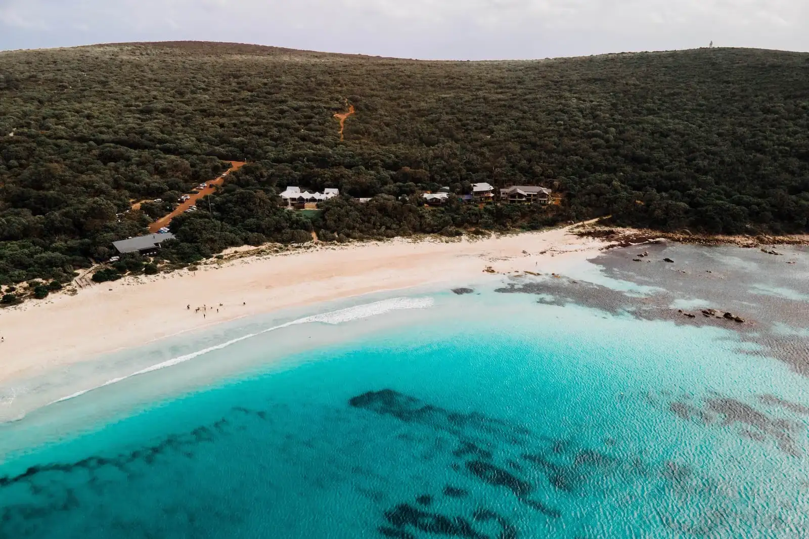
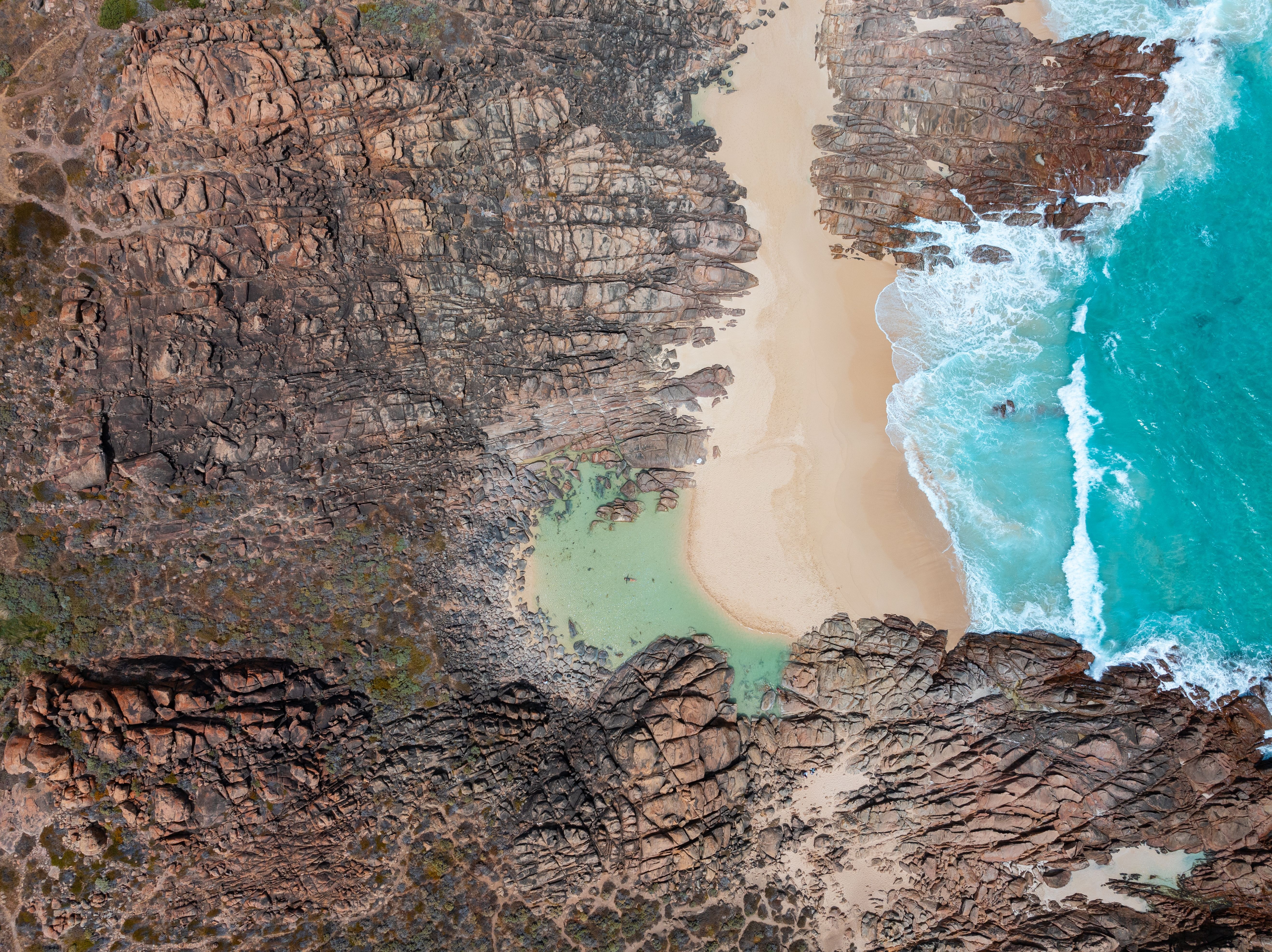
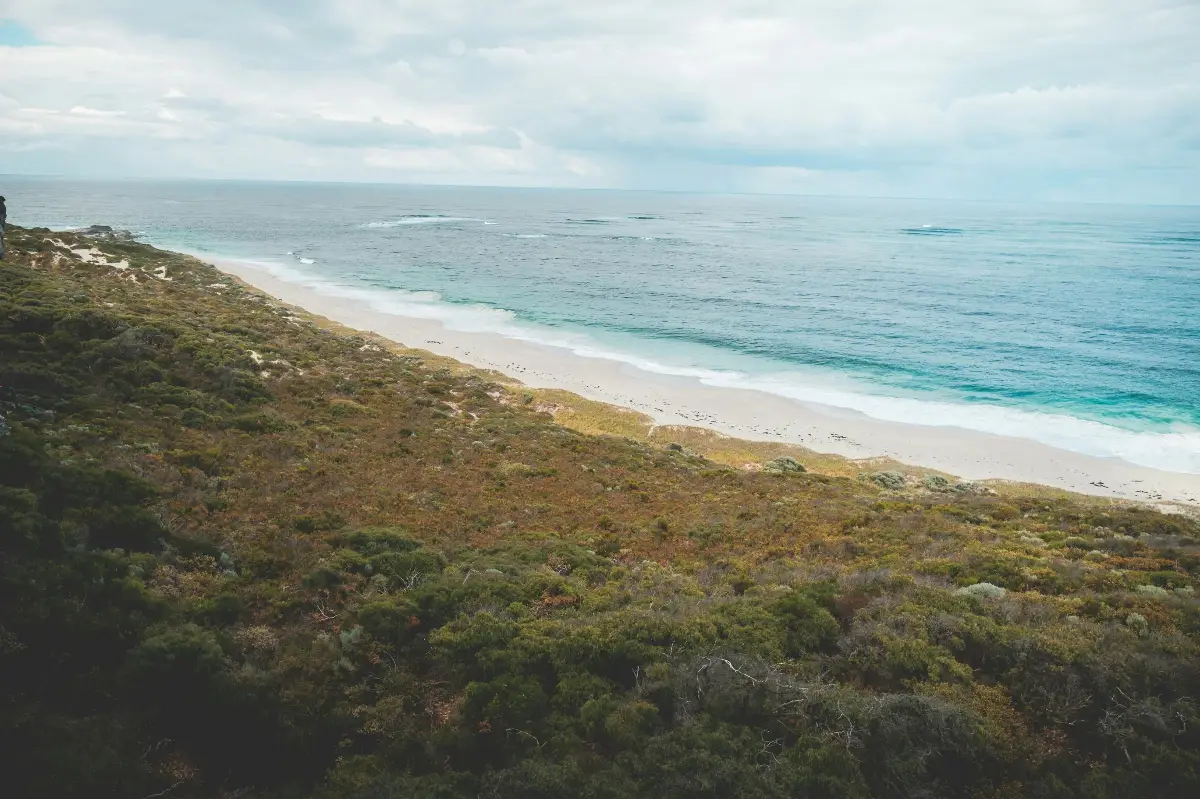
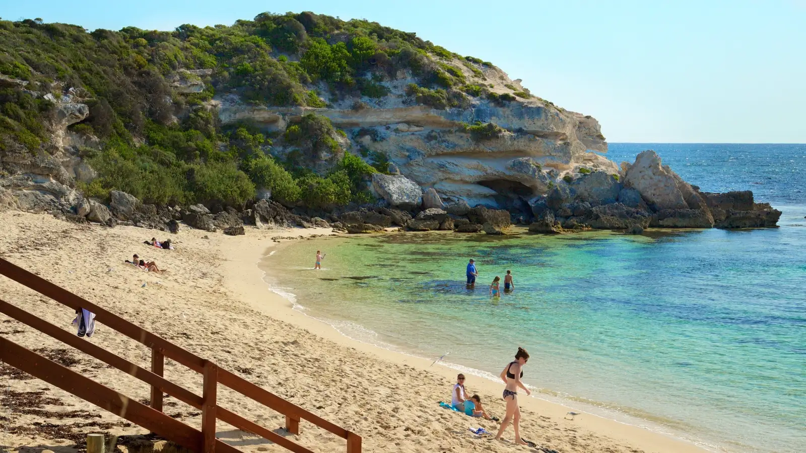
The Margaret River coastline runs from the sheltered swimming beach at Gnarabup and Prevelly south to Hamelin Bay near Cape Leeuwin — five beaches that range from family-friendly bay swimming to Surfers Point, home to the annual Margaret River Pro and one of the most powerful waves in Australia. The live shelter rating is especially relevant here given how quickly swell and wind conditions change around the cape.

FAQs

Contact us

We’d love your feedback ...and some photos.

Help us document the best beaches in Australia. If you have a better photo than the one used or have a beach that you’d like listed on the site, send us an image with location details or a Google map link to .

All accepted photos get an onsite reference with a link to your folio or business.

Email us